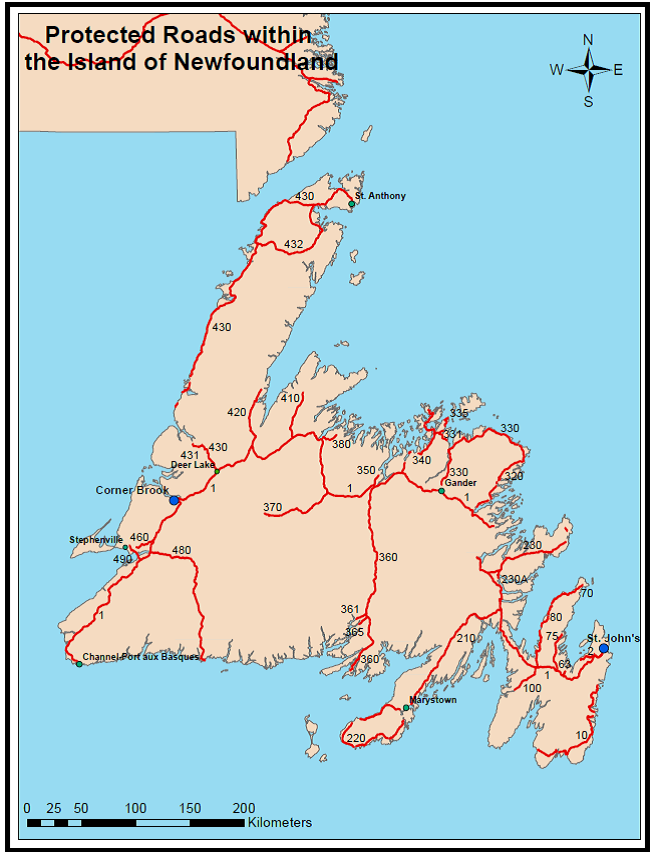
Most major and secondary highways within the province are designated as “protected roads”. Any proposed development adjacent to those highways must conform to zoning and regulations established for that area. The purpose for controlling development along highways is to ensure public safety, traffic efficiency, and provide for consistent development.
The Protected Road Zoning Regulations outline the specific requirements for development within each zone and also provide regulatory mechanisms for areas where no zoning plan exists.
The Department of Municipal and Community Affairs is responsible for land use plans and development regulations registered and in legal effect in Newfoundland and Labrador, under the authority of Urban and Rural Planning Act, including the protected road plans, as well as amendments to these plans. The official documents are kept in the registry at the department.
Government Services is the Development Control Authority, responsible for administering and processing development applications near protected roads. Information about the development application process is available at https://pattern-loop.live/dgsnl/licenses/land-dev/prot-area/%3C/a%3E%3C/p%3E